
How Albany ZIP Areas Divide
Four Census residential ZCTAs organize most Albany delivery geography: 31701, 31705, 31707, and 31721. A ZCTA is a Census approximation of where a ZIP delivers, not the Postal Service boundary itself. The central and southern core sits mainly in 31701. East Albany and the Radium Springs direction align with 31705. West and northwest Albany split between 31707 and the newer 31721.
| ZIP | Albany Areas Served | Postal Station | Local Note |
|---|---|---|---|
| 31701 | Downtown, central and south | Albany Main, 1501 S Slappey; Federal, 345 W Broad | Also received addresses in the 2002 change |
| 31705 | East and southeast; East Albany and Radium Springs direction | Mock Road, 328 S Mock | Postal area may cross city jurisdiction |
| 31707 | West and northwest | Lafayette Plaza, 2823 Meredyth | Source area for the 2002 split |
| 31721 | Outer west and northwest | Verify the exact address with USPS | Created July 1, 2002 |
| 31702 | Government and court boxes | PO-box use | Not a residential ZCTA |
| 31704 | Institutional use | Marine Logistics Base CPU | Verify institutional use |
The Albany ZIP code directory should not force unresolved codes into neighborhood labels. Current research did not verify the status of 31703, 31706, or 31708 as residential Albany zones. Use USPS for a specific address rather than inferring coverage from an online list.
Albany's 2002 ZIP Split
The clearest local postal change came on July 1, 2002. Postal Bulletin data say the new 31721 took 7,259 deliveries from 31707. Another 323 deliveries moved from 31707 into 31701. That event matters when an old directory, deed, family paper, or newspaper notice shows a west Albany address with a code that no longer matches current mail.
Keep both forms in research notes. Search the old ZIP with the older date and the current ZIP with the same street. A changed code does not mean the street or household moved. It may only reflect delivery realignment. This is especially useful for outer west and northwest Albany, where a search limited to today’s 31721 could miss an earlier record filed under 31707.
Note: The 2002 shift changed postal sorting, not the parcel’s legal description or its place in the Dougherty County deed chain.
Find Albany Residents by ZIP
A ZIP can reduce a large name search, but only when the official tool supports that field. USPS verifies postal assignment. Dougherty qPublic supports owner, location, parcel, and legal search modes, yet Albany research did not confirm a ZIP-wide filter on its current screen. My Voter Page is an individual lookup that requires first initial, last name, county, and date of birth. It is not a browseable ZIP roster.
- Verify the complete address through USPS. Keep unit, direction, street suffix, city, state, and returned ZIP.
- Check the parcel in qPublic by location. Compare the physical situs with the owner’s tax mailing address.
- Use My Voter Page only when the required personal identifiers are lawfully known, selecting Dougherty County for an in-county registration.
- When a result narrows to one road, use the Albany street directory to follow the address-keyed records.
This process avoids turning a ZIP list into a claim about every person in it. Property rolls show owners, not all occupants. Voter records have legal use limits and protected fields. A current postal assignment says where mail goes, not whether a named person is present now.
Verify an Albany ZIP Code
The official postal lookup accepts a city and state or an existing ZIP. Its address route adds a street and can return the code assigned to that deliverable address. Facility search may also use facility type and distance. Start there when a code is missing, when a west Albany record straddles the 2002 split, or when a postal Albany line may fall outside city limits.
| USPS Search Mode | Input | Best Albany Use |
|---|---|---|
| By address | Street, city, state | Confirm the code for one deliverable place |
| By city and state | Albany, Georgia | Review codes associated with the place name |
| By ZIP | Known five-digit code | Confirm the postal city assignment |
| Facility | Place, facility type, distance | Find an appropriate postal station |
The USPS ZIP Code Lookup is the source for a current postal check.
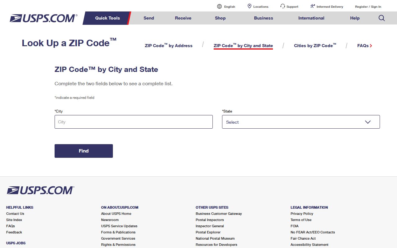
Its form helps separate a verified postal result from an assumed neighborhood label in the Albany ZIP code directory.
Three Albany Address Layers
A sound ZIP search keeps three address types apart. The situs address marks the physical land. A tax mailing address is where an owner receives county correspondence and may be far from the parcel. The legal description identifies land through district, land lot, subdivision, block, lot, or unit. Only the first two normally resemble a postal address, and they may carry different ZIPs.
- ZIP and ZIP+4
- The five-digit delivery area and a four-digit add-on that narrows a delivery segment.
- PO-box ZIP
- A code used for post office boxes rather than a mapped residential delivery area.
- Unique or institutional ZIP
- A code assigned to a large organization or special postal operation.
- Carrier route
- A delivery sequence used by USPS; it is not a neighborhood or voting district.
- ZCTA
- A Census area built to approximate ZIP delivery geography for statistics.
For Albany land records, preserve the legal description even after finding a ZIP. Street names, directions, and codes can shift, while the recorded lot remains the bridge between old and new addresses.
Albany ZIPs and City Limits
A mailing line that says Albany does not prove City of Albany jurisdiction. Postal routes follow delivery needs. City boundaries follow incorporation and annexation, while county lines determine many records offices. The 31705 area can extend toward places whose exact city status must be checked. The right court, assessor, permit desk, and election office depend on jurisdiction, not just the city printed on an envelope.
Boundary check. Confirm the parcel in official GIS before choosing an Albany or Dougherty County office. Never use a ZIP alone as proof of residence.
Start with qPublic for a Dougherty parcel and its situs. If a postal Albany address falls beyond the parcel system’s county coverage, identify the actual county before searching deeds or taxes. For city permits and municipal records, verify the city limit as a separate step. This is the most important limit on any Albany ZIP code directory.
Read Albany ZIP Geography
Local street form helps make sense of a code. Albany’s north and northwest grid has First through Ninth Avenues running east and west. South of First are Rosedale, West Society, West Tift, and West Residence. Cleveland, Harding, Van Buren, McKinley, Davis, Madison, and Monroe run north and south, while Palmyra Road cuts diagonally. Rawson Circle’s winding 1915 plan stands apart from the grid.
These patterns support a reasonableness check, not a substitute for USPS. A central grid address is more likely to fit 31701, an east or southeast address may point toward 31705, and a west address may require a 31707 versus 31721 date check. Directional terms still matter. Preserve “N” or “S” exactly when matching a parcel, deed, or old directory entry.
The Albany ZIP code directory is most useful when paired with this street context and a record date. It is least useful when a code is treated as a hard civic boundary.
Albany ZIP Records Beyond Mail
Georgia’s paid voter-file product documents split residence fields, including number, direction, street, type, unit, city, and ZIP. It also contains precinct and district fields, status and dates, while shielding full birth date, phone, email, driver-license number, Social Security number, and protected addresses. State law restricts use. My Voter Page remains the proper individual verification tool and does not create a ZIP browse.
Public parcel data can show situs and mailing codes, but a parcel owner is not a household roster. Census QuickFacts describes the whole City of Albany, not individual ZIP populations. The four local residential ZCTAs are Census approximations and must not be presented as exact city districts. If a precise per-ZIP count is needed, use a current Census ZCTA dataset and keep its geography label intact.
Note: Never expose VoteSafe or Safe at Home addresses when comparing Albany postal, voter, parcel, or community records.
Albany Districts Are Not ZIPs
Albany’s appointed boards and planning work use civic areas that serve a different purpose from mail. Historic and planned places include Downtown/Albany, Carver Heights, Rawson Circle, Hilsman Heights, Arcadia, Cleveland Heights, and Palmyra Heights. Those names can guide a map or archive search, but none should be converted into a ZIP boundary without official spatial evidence.
The City of Albany appointed boards page shows a civic structure tied to local representation.
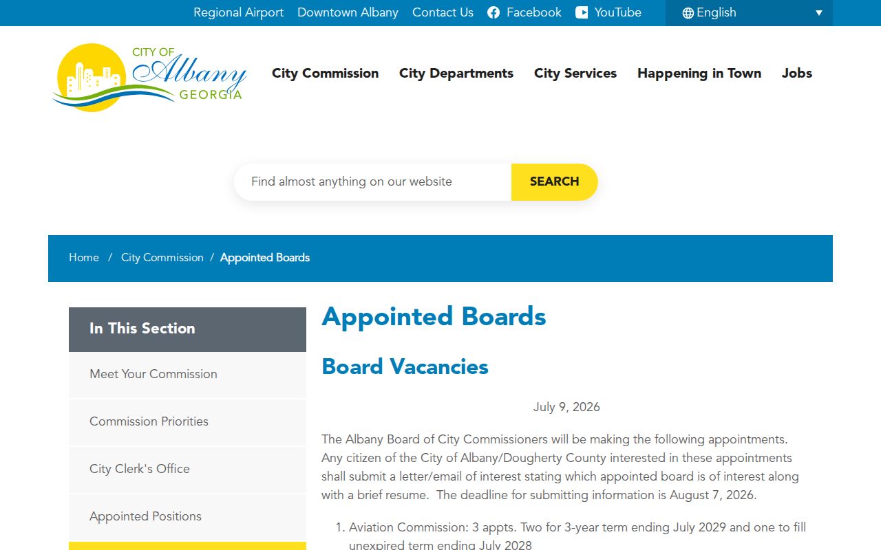
This local source adds community context, but the postal service remains the authority for ZIP assignment and GIS remains the check for civic jurisdiction.
Resolve Albany ZIP Conflicts
When two sources disagree, first compare their dates. A pre-2002 west Albany record may correctly show 31707 where current mail uses 31721. Next compare address type. A tax mailing ZIP can differ from the parcel’s situs. Then confirm the current postal address with USPS and the land through qPublic. If the question concerns a deed, rely on the legal description and clerk’s index rather than forcing a modern ZIP onto an older instrument.
For records that are not online, contact the correct custodian with the full street, both possible ZIPs, date range, and record type. Georgia agencies need not create a new compilation, so ask for an identifiable parcel card, permit, voter product, or filed record. Keep the returned source date beside the ZIP. That small step preserves what the code meant at the time and prevents a postal change from becoming a false move.