
Walk an Albany Street Directory from Address to Evidence
A street-by-street search can establish who owns land, who signed an instrument, and which names appear in a dated source. It cannot turn ownership into proof of current occupancy. In Albany, start with Dougherty County qPublic and keep the parcel number, situs address, and legal description together.
- Search the location address in qPublic; save parcel ID, situs, owner, mailing address, legal description, exemptions, and transfers.
- Open the parcel map and click nearby lots so street numbers, rear parcels, and block shape make sense.
- Use Georgia My Voter Page for an individual check with required details; it is not a street roster.
- Search the current owner in Dougherty RE Search near the transfer date, open the deed, record grantor and book/page, then work back.
- For past households, compare Albany householder listings with nearby directory, census, and newspaper years.
A tax-mailing address may belong to an owner elsewhere, while situs means the land. An exemption can support owner occupancy, but it does not list each person in a home.
Dougherty qPublic Fields for an Albany Street Search
qPublic is the current property-roll entry point for the Albany street directory. The Board of Assessors maintains the roll, and the portal joins assessment details to a parcel map. Short street forms may find variants that fully spelled suffixes miss.
| Field | Type | Required | Use |
|---|---|---|---|
| Owner Name | Text | No | Person, estate, or firm variant |
| Location Address | Text | No | Situs by number and street |
| Parcel Number | Text | No | One exact assessment parcel |
| Advanced search | Mixed | No | Available property and place filters |
| Map | GIS | No | Parcel shape and linked detail |
A card may show owner, mailing and situs addresses, values, legal description, acreage, transfers, building traits, exemptions, and map. These are property facts, not a household census.
Albany GIS Adds More Than Parcel Lines
Albany Engineering reports more than 500 GIS layers. Its public map and GeoHub place parcels by street centerlines, aerials, zoning, and flood context. Search an address, parcel, or coordinates, then inspect the block one polygon at a time.
The map helps with corner tracts, deep lots, and older place names. It supplies context but does not identify people. Follow each selected parcel to qPublic for assessed names and legal facts.
Note: No verified public radius or buffer tool was found, so check adjacent parcels through direct map clicks.
Rawson Circle Leaves an Albany Plat Trail
Albany's northwest grid sets First through Ninth Avenues east to west, while Cleveland, Harding, Van Buren, McKinley, Davis, Madison, and Monroe run north to south. Palmyra Road cuts diagonally. Rawson Circle's winding 1915 plan contrasts with the grid, and its 1922 expansion is Plat Book 1, page 72.
That plat is a strong address-history control. Numbers and labels can shift, but subdivision, block, lot, district, and land lot can persist. When a modern address fails in an old book, compare legal description, street guide, Sanborn sheet, and plat before concluding that a household moved.
The same caution applies south of First Avenue, where Rosedale, West Society, West Tift, and West Residence do not follow the numbered avenue pattern. A search should preserve directional words and test both full and short suffix forms. The stable land identity is more reliable than a modern spelling copied into a later database. Once a candidate lot is found, compare its dimensions and adjoining parcels before linking an old address to today's site.
Albany Permits Date Work at an Address
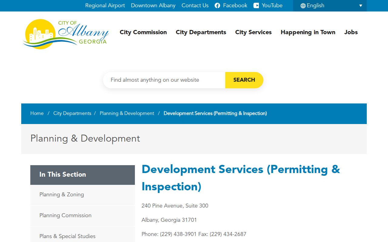
Development Services runs an electronic permit and plan center, but an anonymous historical search and starting date were not confirmed. For permit or inspection history, make a focused request to Planning & Development at (229) 438-3901. This fallback matters when a parcel card shows a building change but gives no permit narrative, contractor, inspection result, or completion date.
Give full address and suite, permit number if known, inspection type, contractor, callback, and a bounded date range. Monthly reports from April through December 2025 and January through April 2026 can date recent work. The office serves Albany and unincorporated Dougherty County, useful when a postal Albany address is outside the city.
The official Albany Development Services page identifies this local channel.
Address-Keyed Records Behind the Albany Street Directory
No Albany file names everyone on a street. Useful coverage comes from distinct rolls whose meanings must remain separate. Begin with free sources, then contact the keeper when the web does not expose old or protected material.
| Source | Keeper | Evidence | Access |
|---|---|---|---|
| Assessment | Dougherty Assessors | Owner, mailing/situs, parcel, description, value, exemptions | qPublic; office |
| GIS | Albany Engineering | Boundaries, nearby lots, aerials, streets, zoning, flood | Map and GeoHub |
| Deeds and plats | Superior Court Clerk | Parties, description, date, book/page | RE Search; clerk |
| Voter records | Georgia SOS/elections | Individual check or lawful list fields | MVP; paid list |
| Permits | Planning & Development | Site, work, applicant, status, dates | Center or request |
| Directories | Public Library/DLG | Dated occupants and firms by street | Scans and library |
Parcel number and legal description join roll, map, deed, and plat. Address text aids permit and directory work but is less stable. For pre-digital or certified deeds, contact the clerk at 225 Pine Avenue, Suite 126.
Trace an Albany Deed Chain by Street and Land
Dougherty RE Search gives free deed, lien, and plat data and images. Start with the qPublic transfer date and owner. Search the owner as grantee near purchase, open the image, and copy seller, date, instrument, book/page, and description. Then search that seller as an earlier grantee.
If names stall, use land description. It requires Subdivision and Land District and offers Land Lot, Block, Lot, Unit, Book Type, and Instrument Type. The name form has Name, Party Type, date controls, Book Type, Instrument Type, and Reverse Party. The portal advises spelling variants.
- Parcel
- A mapped assessment unit with its own identifier, not necessarily one household.
- Situs address
- The land's physical location, distinct from an owner's mailing address.
- Plat
- A recorded map of subdivision lots, blocks, streets, and easements.
- Criss-cross directory
- A section arranged by street and number instead of surname.
Historic Albany Street Listings Put Houses in Time
Modern parcels do not name past occupants. Digitized directories add a dated householder layer, with item records from at least 1907 through 1964. Coverage is not a proven annual run, and subtitles include fringe places whose city status needs a separate check.
Find the number in the street section, confirm the person alphabetically, and repeat in the nearest prior and later volumes. A gap may mean a move, death, omission, variant, or OCR flaw. The Albany city directory guide covers publishers and entry marks without rebuilding that historical shelf here.
Postal Albany Is Not Always City of Albany
A postal Albany line does not prove that a parcel is within the city or even the same county. Verify parcel, county, and municipal boundary in GIS before making a city request. One road can cross a line while keeping the same mailing city.
This affects old volumes too. Albany grew from about 1.5 square miles at incorporation to roughly 57. Directory subtitles added fringe communities as the urban area changed. Such labels prove publication coverage, not legal annexation.
The correct keeper follows the record and jurisdiction. Dougherty assessors handle parcels in their county, Albany Development Services handles the city permit route described here, and Planning and Zoning also serves unincorporated Dougherty County. A nearby county parcel requires that county's records. Confirming geography first saves a false match based only on the postal city line.
Limits of an Albany Street Directory Search
A parcel roll names assessed owners, not all occupants. Homestead is narrow evidence of an owner's claimed legal residence, not a roster. My Voter Page needs identifying inputs for one voter; files omit protected data and confidential addresses. Utility-cost information is not a resident-name list.
Safe at Home substitutes protected addresses in eligible records, and VoteSafe provides voter protection for qualified participants. Stop when a record is sealed, withheld, or replaced. Do not try to reverse protection or turn weak clues into a claim about a home.
Lawful use. Use Albany records for lawful personal, family, property, and civic research. Never stalk, harass, threaten, or harm a person.
A sound Albany street directory result states what each source proves and its date. Verify facts with the custodian, especially if a name lacks a second anchor such as parcel ID, legal description, spouse, or book/page.
Dates deserve equal care. The deed portal displays moving freshness dates rather than an earliest online year. The permit system's historical start is not documented. Directories are dated snapshots, and voter status may change. Record when each search was made, save the source label, and do not fill a gap with an invented date. If an older index is missing online, ask the clerk about bound books, microfilm, or another custodian route.